Print Issue
Utah’s High Uintas Wilderness Offers Summer Serenity and Snow

The hidden gem has the state’s tallest mountain and is less than a two-hour drive from Salt Lake City.
April 19 2022 7:00 AM EST
By continuing to use our site, you agree to our Privacy Policy and Terms of Use.

The hidden gem has the state’s tallest mountain and is less than a two-hour drive from Salt Lake City.
While there are plenty of amazing backpacking destinations in my home state of California, none provide the type of accessible isolation my backpacking buddy — an old friend from high school — and I crave. Our backcountry adventures always center a restorative experience that rejuvenates the mind and soul by gently punishing our aging bodies and internal resolve. We want to earn our solitude.
This year’s destination of isolation was the Henry’s Fork Basin in the High Uintas Wilderness Area. The trail is popular with climbers looking to bag Kings Peak, Utah’s highest peak at 13,528 feet, so it can be heavily trafficked depending upon the season. With older bodies no longer interested in climbing every mountain or fording every stream, though, we opted to do a far gentler loop of the basin instead, with stops at Bear Lake and Island Lake.
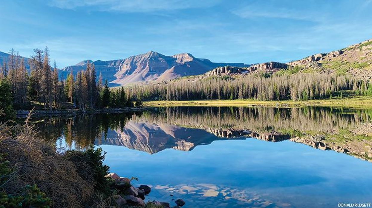
Flat Top Mountain reflected in Island Lake
The Henry’s Fork Lake Trail might be in eastern Utah, but the trailhead is best accessed from Wyoming to the north. We spent the night at Stateline Campground, one of several located just south of the Wyoming-Utah border. We hit the trail the following morning. By delaying our departure to a leisurely 9 a.m., we were able to avoid most of the folks summiting Kings Peak.

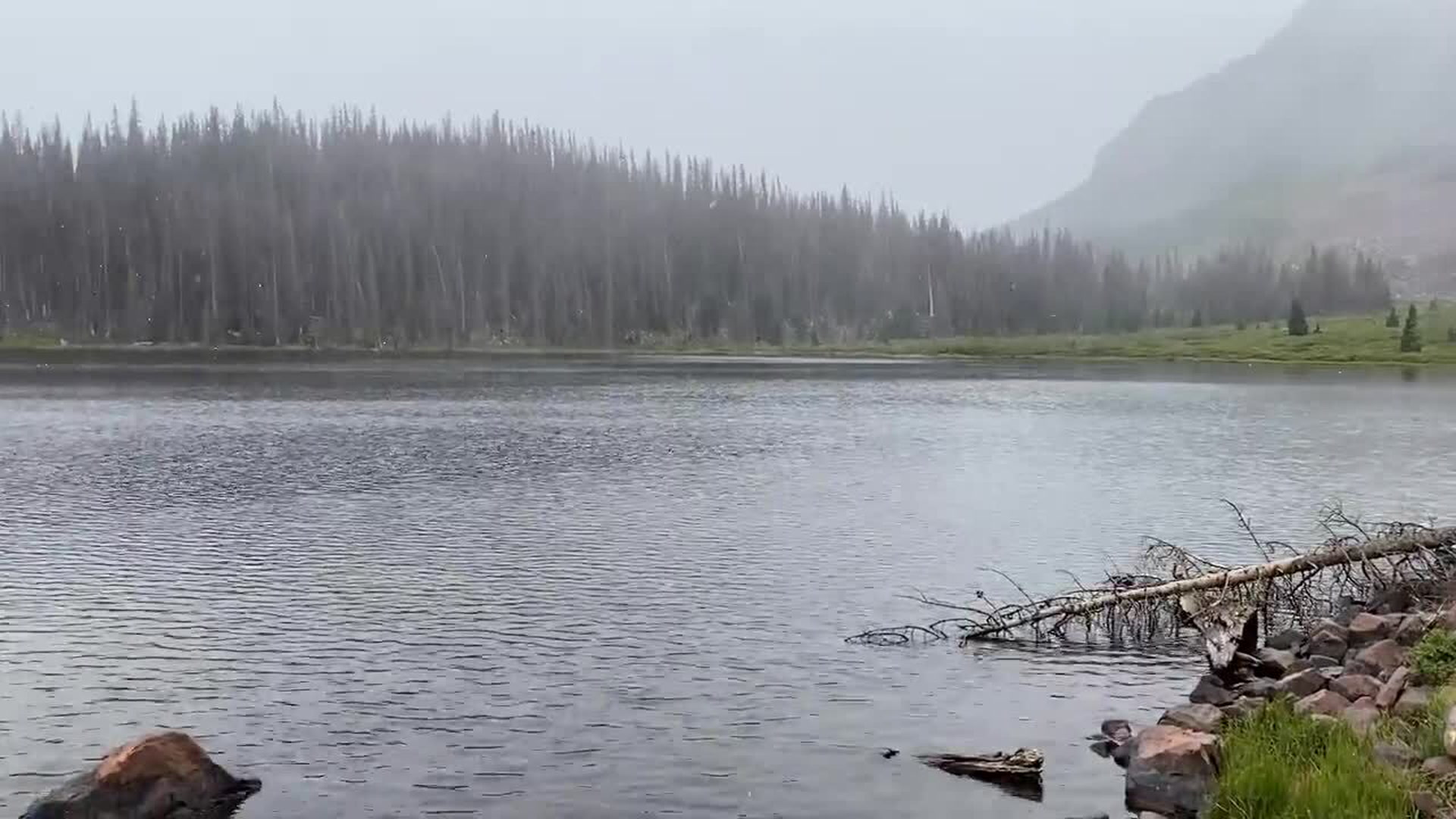
Final fluries of a brief but intense snowstorm at Bear Lake
The trail climbed easily but steadily for five miles, following Henry’s Fork River and rising from an altitude of roughly 9,400 feet at the trailhead to around 10,350 at the Elk’s Crossing junction. There our idyllic walk in the woods took a sudden turn into something more adventurous, demanding, and rewarding. The trail became a steep ascent, gaining several hundred feet in elevation in less than a mile over a rocky and uneven ground, admittedly a chore for lungs and legs accustomed to life much closer to sea level.
Quiet campsite following the snow
And then it began to rain. It started as a steady drizzle but soon turned into a light shower. As we climbed ever higher, the rain turned into flurries of snow. By the time we reached Bear Lake a short time later, we were in the midst of a mini-blizzard that limited visibility to a few hundred feet at best. It was a surreal and invigorating experience. By the time we had set up our tents and built a warming fire, the storm had passed as quickly as it appeared, and we were left with a few patches of slow-drifting clouds and crystal-clear visibility.
Perfect night sky over Bear Lake
The next morning dawned with temperatures hovering in the high-20s and the first of many encounters with the resident moose population. A mother moose and her cute offspring appeared more startled than I at our unintended encounter, but I kept my distance, nonetheless.
A startled mother and her offspring
By the trip’s end, I could count the number of folks we saw on two hands, but we ran out of appendages for counting moose before the sun had set on our second night in the backcountry.
Moose grazing in the distance at Bear Lake
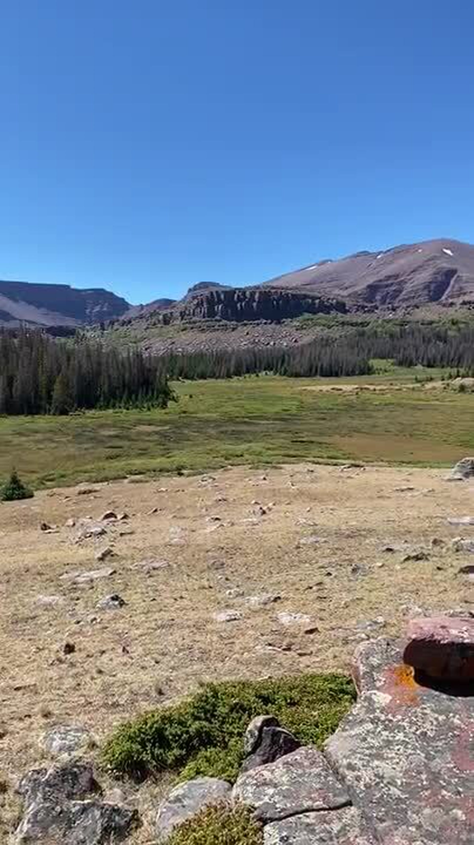
We broke camp late the following morning, but it didn’t take long before the previously forested trail opened to a stunning vista of the entire Henry’s Fork Basin and its marshes, streams, lakes, and trees, with Kings Peak looming large to the south.

Henry’s Fork Basin
As we climbed we had a fortuitous interaction with another hiker, who recommended a tent site off the beaten path. Following his advice, we bushwhacked several hundred feet along the steep rise of a forested hill until the trees opened upon a flat marsh and pristine Island Lake.
Marshes below campsite with Flat Top Mountain in distance
The next two days and nights were spent exploring the lake and surrounding area, reading, drinking bourbon mixed with freshly filtered mountain water, and generally disconnecting from the world back home. The view from our backcountry campsite was sublime, and we often could do little more than gaze in respectful awe.
A windy evening
Island Lake was simply stunning, although no words or pictures can do it true justice. In the distance from its shores, we could hear falling water but were unable to determine its exact location. It was only after consulting my GPS that we could distinguish a series of rocky waterfalls a mile in the distance emptying from a marshy plateau. I was tempted to try to hike to the falls the next day, but instead heeded the objections from my arthritic, surgically reconstructed knee and tendinitis-plagued ankle (as well as from my less motivated hiking companion) and opted instead for a full day of rest and relaxation. It was a wise choice.

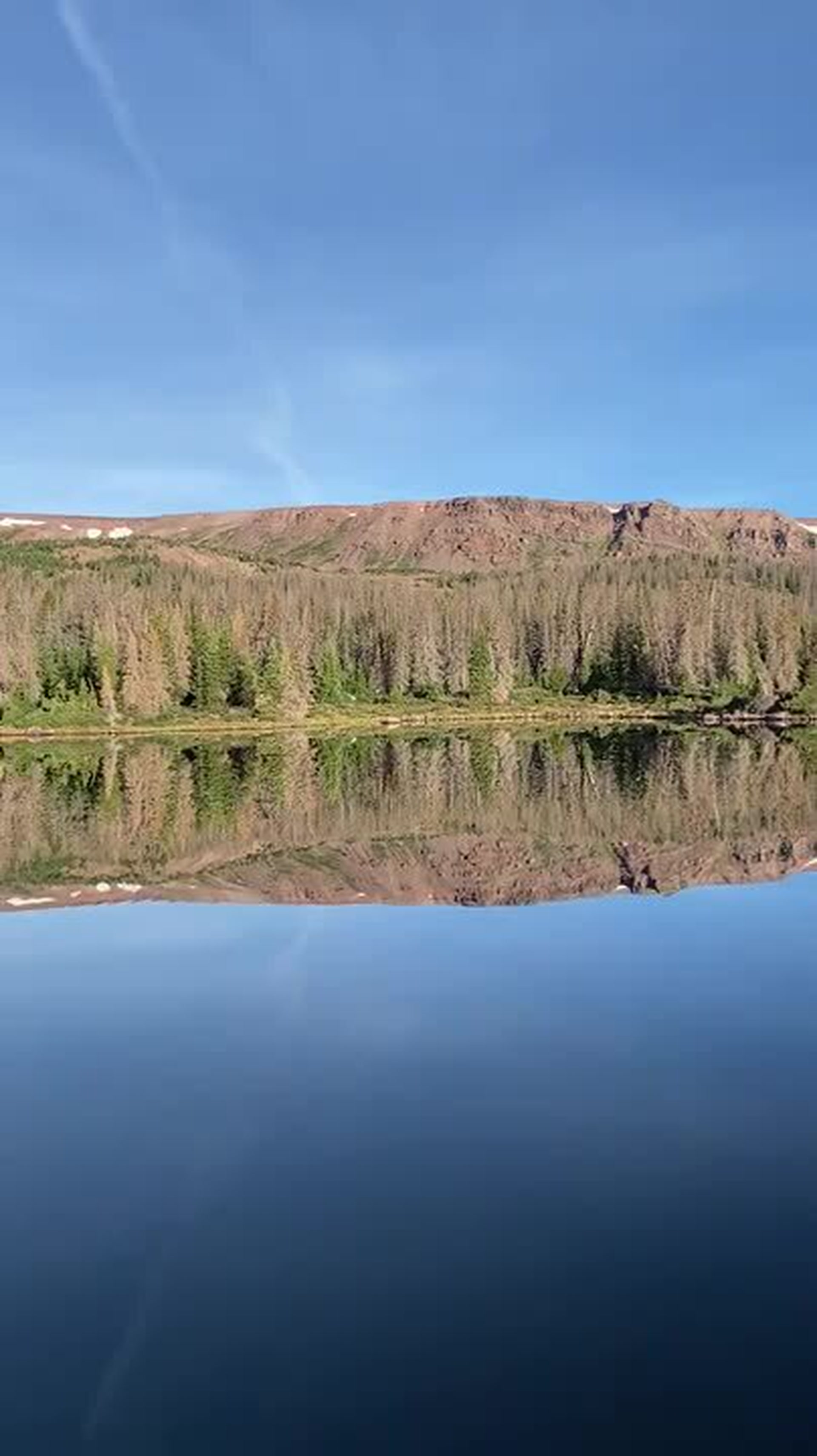
Early morning reflections on Island Lake
In the cold calm of the following morning, Island Lake became a mirror reflecting the 10,620-foot and appropriately named Flat Top Mountain (more a miles-long plateau than an actual mountain) dominating the western horizon, and Gilbert Peak to the east. The waters transformed into the perfect canvas for the contrasting green of the trees and marshes against the mountain’s red-rock slopes. It was the perfect setting for our final day of rest.
Henry’s Fork Basin
This piece originally ran in Out Traveler print magazine. The Spring 2022 issue is now available on newsstands.
Managing Editor at OutTraveler. Also write for Out, The Advocate, and Plus magazines.
Managing Editor at OutTraveler. Also write for Out, The Advocate, and Plus magazines.